Puddle by the Quoile, Downpatrick
Introduction
The photograph on this page of Puddle by the Quoile, Downpatrick by Albert Bridge as part of the Geograph project.
The Geograph project started in 2005 with the aim of publishing, organising and preserving representative images for every square kilometre of Great Britain, Ireland and the Isle of Man.

There are currently over 7.5m images from over 14,400 individuals and you can help contribute to the project by visiting https://www.geograph.org.uk
Puddle by the Quoile, Downpatrick
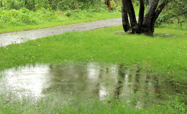
Image: © Albert Bridge Taken: 27 Aug 2012
A puddle, in the grass, beside the path at the Quoile Pondage. This area floods easily. Today was a day of driving rain.
Images are licensed for reuse under creativecommons.org/licenses/by-sa/2.0
Image Location
Latitude
54.351624
Longitude
-5.699559