Track through fields below Porthcasseg
Introduction
The photograph on this page of Track through fields below Porthcasseg by Jeremy Bolwell as part of the Geograph project.
The Geograph project started in 2005 with the aim of publishing, organising and preserving representative images for every square kilometre of Great Britain, Ireland and the Isle of Man.

There are currently over 7.5m images from over 14,400 individuals and you can help contribute to the project by visiting https://www.geograph.org.uk
Track through fields below Porthcasseg
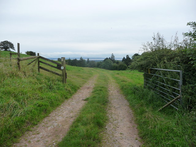
Image: © Jeremy Bolwell Taken: 26 Aug 2012
A nice view to the Severn Estuary opens up at the field boundary here.
Images are licensed for reuse under creativecommons.org/licenses/by-sa/2.0
Image Location
Latitude
51.676125
Longitude
-2.690515