Bourne Mill
Introduction
The photograph on this page of Bourne Mill by Ashley Dace as part of the Geograph project.
The Geograph project started in 2005 with the aim of publishing, organising and preserving representative images for every square kilometre of Great Britain, Ireland and the Isle of Man.

There are currently over 7.5m images from over 14,400 individuals and you can help contribute to the project by visiting https://www.geograph.org.uk
Bourne Mill
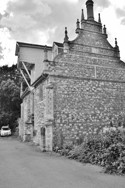
Image: © Ashley Dace Taken: 26 Aug 2012
I have turned this monochrome due to a difficult sun position. The Lucum is an addition of the flour mill, before this building was a fulling mill and fishing lodge.
Images are licensed for reuse under creativecommons.org/licenses/by-sa/2.0
Image Location
Latitude
51.876963
Longitude
0.912142