Countryside at Chapple
Introduction
The photograph on this page of Countryside at Chapple by Derek Harper as part of the Geograph project.
The Geograph project started in 2005 with the aim of publishing, organising and preserving representative images for every square kilometre of Great Britain, Ireland and the Isle of Man.

There are currently over 7.5m images from over 14,400 individuals and you can help contribute to the project by visiting https://www.geograph.org.uk
Countryside at Chapple
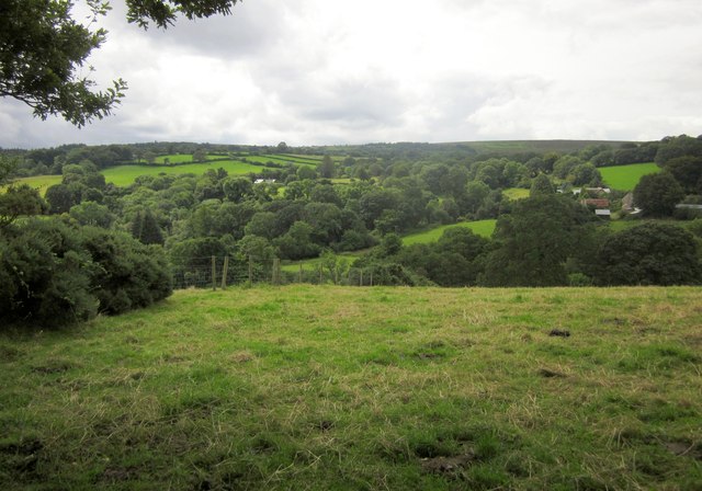
Image: © Derek Harper Taken: 26 Aug 2012
A wider version of the view in Image, taken a little further down the Dartmoor Way (and the Taw-Teign Link) as it follows Throwleigh Bridleway 13; Chapple is to the right. Much gloomier weather, and the trees seem to have grown a bit. Here the valleys of the Moortown Brook and the Forder Brook combine.
Images are licensed for reuse under creativecommons.org/licenses/by-sa/2.0
Image Location
Latitude
50.685456
Longitude
-3.88125