New Barn
Introduction
The photograph on this page of New Barn by Simon Carey as part of the Geograph project.
The Geograph project started in 2005 with the aim of publishing, organising and preserving representative images for every square kilometre of Great Britain, Ireland and the Isle of Man.

There are currently over 7.5m images from over 14,400 individuals and you can help contribute to the project by visiting https://www.geograph.org.uk
New Barn
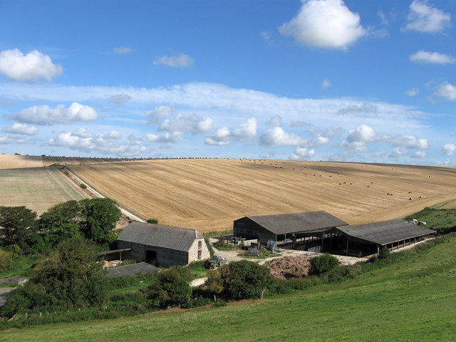
Image: © Simon Carey Taken: 23 Aug 2012
The original New Barn being the old flint barn which dates from the late 18th century and is listed. The ridge beyond is Image whilst the buildings lie in Blackstone Bottom.
Images are licensed for reuse under creativecommons.org/licenses/by-sa/2.0
Image Location
Latitude
50.792097
Longitude
0.09918