East Side Allotments
Introduction
The photograph on this page of East Side Allotments by Simon Carey as part of the Geograph project.
The Geograph project started in 2005 with the aim of publishing, organising and preserving representative images for every square kilometre of Great Britain, Ireland and the Isle of Man.

There are currently over 7.5m images from over 14,400 individuals and you can help contribute to the project by visiting https://www.geograph.org.uk
East Side Allotments
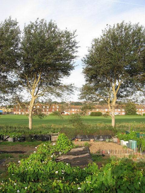
Image: © Simon Carey Taken: 23 Aug 2012
These are owned by Lewes District Council and are squeezed between the recreation ground and the public footpath that runs along a former river bank.
Images are licensed for reuse under creativecommons.org/licenses/by-sa/2.0
Image Location
Latitude
50.792178
Longitude
0.059312