Fields by Bondhay Barn
Introduction
The photograph on this page of Fields by Bondhay Barn by Andrew Hill as part of the Geograph project.
The Geograph project started in 2005 with the aim of publishing, organising and preserving representative images for every square kilometre of Great Britain, Ireland and the Isle of Man.

There are currently over 7.5m images from over 14,400 individuals and you can help contribute to the project by visiting https://www.geograph.org.uk
Fields by Bondhay Barn
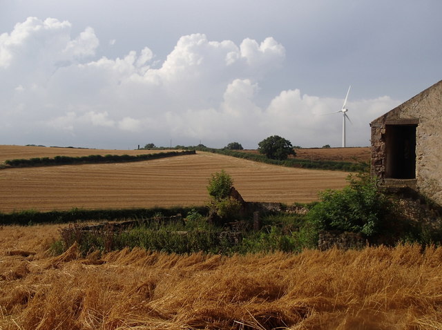
Image: © Andrew Hill Taken: 25 Aug 2012
Wheat fields, some recently harvested, with Harthill Field Lane in the next square between hedges rising right to left in front of the wind turbine.
Images are licensed for reuse under creativecommons.org/licenses/by-sa/2.0
Image Location
Latitude
53.304521
Longitude
-1.23794