Shurland Place
Introduction
The photograph on this page of Shurland Place by John Baker as part of the Geograph project.
The Geograph project started in 2005 with the aim of publishing, organising and preserving representative images for every square kilometre of Great Britain, Ireland and the Isle of Man.

There are currently over 7.5m images from over 14,400 individuals and you can help contribute to the project by visiting https://www.geograph.org.uk
Shurland Place
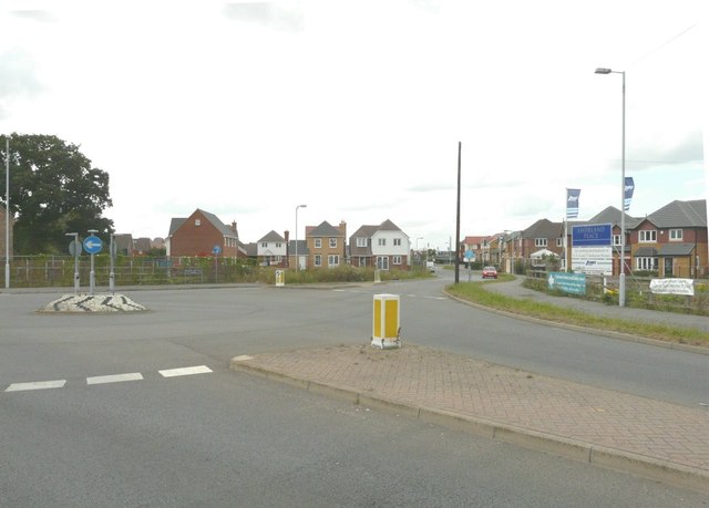
Image: © John Baker Taken: 22 Aug 2012
Is the name of this estate whose blue nameplate can be seen on the right. At this point along Scocles Road, a roundabout has been created to take traffic into the estate along Thistle Hill Way (seen here, straight ahead).
Images are licensed for reuse under creativecommons.org/licenses/by-sa/2.0
Image Location
Latitude
51.414708
Longitude
0.803978