Chessfield downs golf course.
Introduction
The photograph on this page of Chessfield downs golf course. by Robin Hall as part of the Geograph project.
The Geograph project started in 2005 with the aim of publishing, organising and preserving representative images for every square kilometre of Great Britain, Ireland and the Isle of Man.

There are currently over 7.5m images from over 14,400 individuals and you can help contribute to the project by visiting https://www.geograph.org.uk
Chessfield downs golf course.
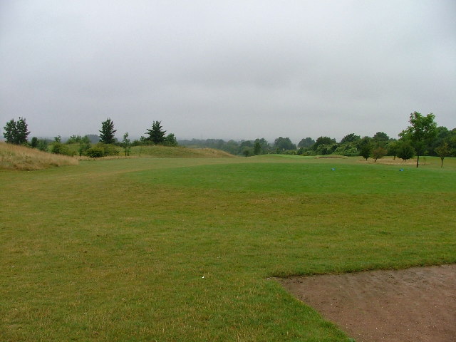
Image: © Robin Hall Taken: 27 Jul 2005
Actually this is a nice little par 3 course with well looked after greens. It runs alongside the larger 18 hole course. On this particular day the bunkers were filling up with water. A double hazard so far as I am concerned.
Images are licensed for reuse under creativecommons.org/licenses/by-sa/2.0
Image Location
Latitude
51.950291
Longitude
-0.204415