Slack's Lane
Introduction
The photograph on this page of Slack's Lane by Alan Walker as part of the Geograph project.
The Geograph project started in 2005 with the aim of publishing, organising and preserving representative images for every square kilometre of Great Britain, Ireland and the Isle of Man.

There are currently over 7.5m images from over 14,400 individuals and you can help contribute to the project by visiting https://www.geograph.org.uk
Slack's Lane
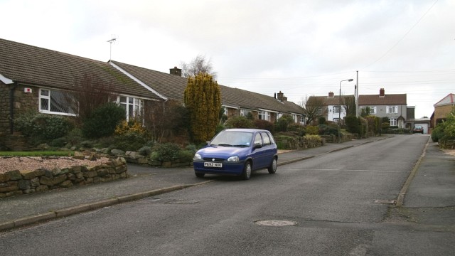
Image: © Alan Walker Taken: 11 Jan 2007
The photograph is taken from the point where the lane Image meets Forest Drive Image At the head of the road (right, distance) is Back Lane Image where it meets The Paddocks Image To the right of this viewpoint is a Image that leads, via Rother Street and Queen Street to Station Road.
Images are licensed for reuse under creativecommons.org/licenses/by-sa/2.0
Image Location


Leaflet Map data © OpenStreetMap
Latitude
53.159746
Longitude
-1.367332