A3 across Esher Common
Introduction
The photograph on this page of A3 across Esher Common by Robin Webster as part of the Geograph project.
The Geograph project started in 2005 with the aim of publishing, organising and preserving representative images for every square kilometre of Great Britain, Ireland and the Isle of Man.

There are currently over 7.5m images from over 14,400 individuals and you can help contribute to the project by visiting https://www.geograph.org.uk
A3 across Esher Common
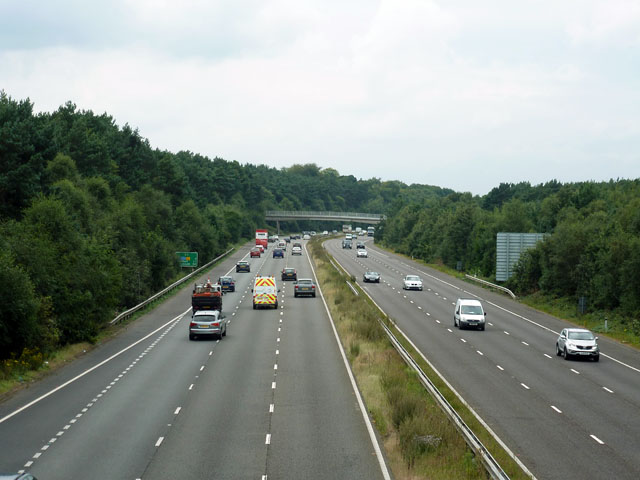
Image: © Robin Webster Taken: 24 Aug 2012
Looking west from a bridleway bridge towards another. A carved sign on the viewpoint bridge was at first read as 'Ase Bridge', an odd name, until it dawned that it was actually 'A3, E Bridge'. In which case the distant bridge in this view must be A3, W Bridge.
Images are licensed for reuse under creativecommons.org/licenses/by-sa/2.0
Image Location
Latitude
51.346087
Longitude
-0.375887