Forest Hill: view east from the station
Introduction
The photograph on this page of Forest Hill: view east from the station by Dr Neil Clifton as part of the Geograph project.
The Geograph project started in 2005 with the aim of publishing, organising and preserving representative images for every square kilometre of Great Britain, Ireland and the Isle of Man.

There are currently over 7.5m images from over 14,400 individuals and you can help contribute to the project by visiting https://www.geograph.org.uk
Forest Hill: view east from the station
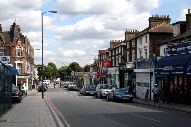
Image: © Dr Neil Clifton Taken: 23 Aug 2012
I am not certain about road names here, but it seems the nearer part is part of Perry Vale, but further away (where it becomes also the South Circular Road), its local name is Waldram Park Road.
Images are licensed for reuse under creativecommons.org/licenses/by-sa/2.0
Image Location
Latitude
51.439531
Longitude
-0.052139