Lammermuir landscape
Introduction
The photograph on this page of Lammermuir landscape by M J Richardson as part of the Geograph project.
The Geograph project started in 2005 with the aim of publishing, organising and preserving representative images for every square kilometre of Great Britain, Ireland and the Isle of Man.

There are currently over 7.5m images from over 14,400 individuals and you can help contribute to the project by visiting https://www.geograph.org.uk
Lammermuir landscape
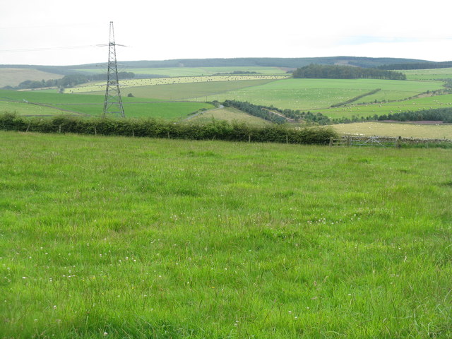
Image: © M J Richardson Taken: 23 Aug 2012
Looking westwards from Whiteburn towards Abbey St Bathans. A largely grass-dependant landscape and agricultural industry, with patches of forestry.
Images are licensed for reuse under creativecommons.org/licenses/by-sa/2.0
Image Location
Latitude
55.870277
Longitude
-2.384933