High Street, Stoke Canon
Introduction
The photograph on this page of High Street, Stoke Canon by Derek Harper as part of the Geograph project.
The Geograph project started in 2005 with the aim of publishing, organising and preserving representative images for every square kilometre of Great Britain, Ireland and the Isle of Man.

There are currently over 7.5m images from over 14,400 individuals and you can help contribute to the project by visiting https://www.geograph.org.uk
High Street, Stoke Canon
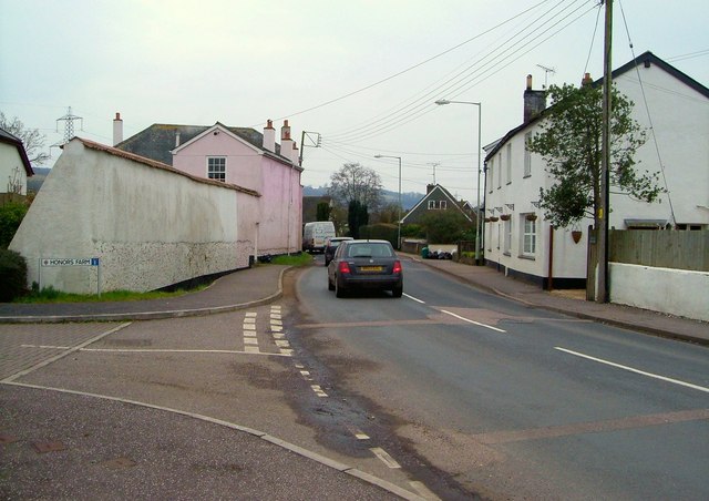
Image: © Derek Harper Taken: 16 Mar 2006
The A396 winds through the village, past the junction with Honors Farm, a modern development of detached houses named after the pink C19 house on the left, The Honors http://list.english-heritage.org.uk/resultsingle.aspx?uid=1333983&searchtype=mapsearch , though I don't think there was a farm called "Honors Farm". (The high wall is listed together with the house.)
Images are licensed for reuse under creativecommons.org/licenses/by-sa/2.0
Image Location
Latitude
50.770302
Longitude
-3.507409