Farm outbuildings and cottage, Edgmond
Introduction
The photograph on this page of Farm outbuildings and cottage, Edgmond by Richard Law as part of the Geograph project.
The Geograph project started in 2005 with the aim of publishing, organising and preserving representative images for every square kilometre of Great Britain, Ireland and the Isle of Man.

There are currently over 7.5m images from over 14,400 individuals and you can help contribute to the project by visiting https://www.geograph.org.uk
Farm outbuildings and cottage, Edgmond
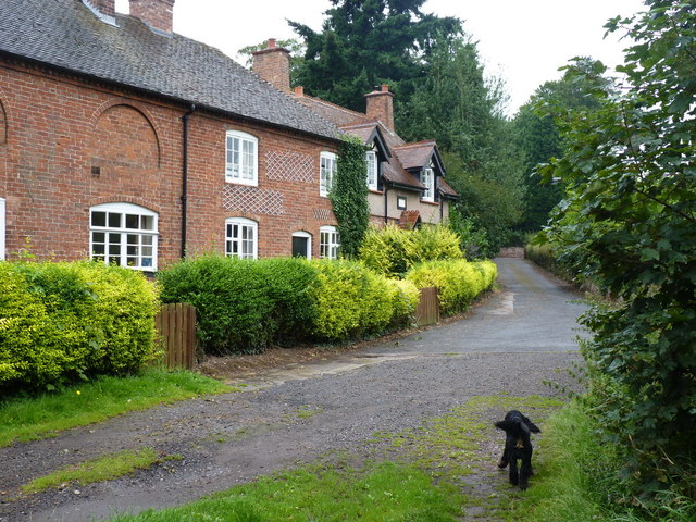
Image: © Richard Law Taken: 19 Aug 2012
The farm buildings belong to Sandwell Council Education Dept, and form part of their Outdoor Education property. The adjacent Sutherland-style cottage, I believe, is private.
Images are licensed for reuse under creativecommons.org/licenses/by-sa/2.0
Image Location
Latitude
52.769756
Longitude
-2.415113