Low Tide on Barton Hall Creek
Introduction
The photograph on this page of Low Tide on Barton Hall Creek by Glyn Baker as part of the Geograph project.
The Geograph project started in 2005 with the aim of publishing, organising and preserving representative images for every square kilometre of Great Britain, Ireland and the Isle of Man.

There are currently over 7.5m images from over 14,400 individuals and you can help contribute to the project by visiting https://www.geograph.org.uk
Low Tide on Barton Hall Creek
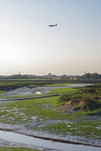
Image: © Glyn Baker Taken: 19 Aug 2012
Looking across the creek with an Easy Jet on final approach to Southend Airport
Images are licensed for reuse under creativecommons.org/licenses/by-sa/2.0
Image Location


Leaflet Map data © OpenStreetMap
Latitude
51.585216
Longitude
0.755277