Head of Navigation
Introduction
The photograph on this page of Head of Navigation by Glyn Baker as part of the Geograph project.
The Geograph project started in 2005 with the aim of publishing, organising and preserving representative images for every square kilometre of Great Britain, Ireland and the Isle of Man.

There are currently over 7.5m images from over 14,400 individuals and you can help contribute to the project by visiting https://www.geograph.org.uk
Head of Navigation
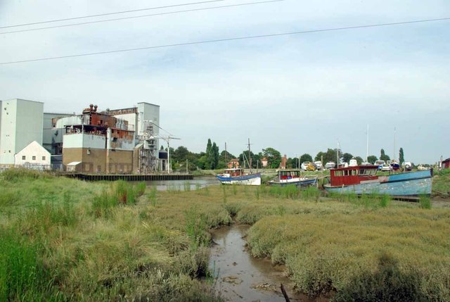
Image: © Glyn Baker Taken: 19 Aug 2012
A weir at Image prevents further navigation on the tidal part of the River Roach. There are signs at the gate of the mill advertising a demolition company.
Images are licensed for reuse under creativecommons.org/licenses/by-sa/2.0
Image Location


Leaflet Map data © OpenStreetMap
Latitude
51.579171
Longitude
0.721422