Wheat field on the edge of Cliff's End
Introduction
The photograph on this page of Wheat field on the edge of Cliff's End by Bill Boaden as part of the Geograph project.
The Geograph project started in 2005 with the aim of publishing, organising and preserving representative images for every square kilometre of Great Britain, Ireland and the Isle of Man.

There are currently over 7.5m images from over 14,400 individuals and you can help contribute to the project by visiting https://www.geograph.org.uk
Wheat field on the edge of Cliff's End
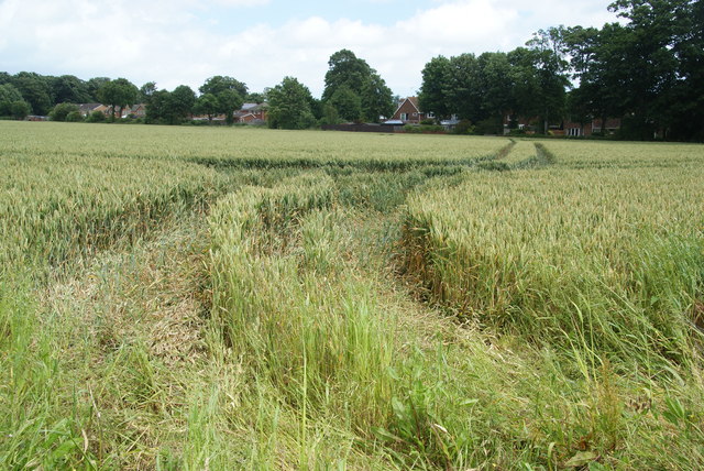
Image: © Bill Boaden Taken: 29 Jun 2012
From this side of the village, you don't see how the village's name is apposite, but on the other side, the cliffs do end.
Images are licensed for reuse under creativecommons.org/licenses/by-sa/2.0
Image Location
Latitude
51.328182
Longitude
1.360763