Entrance to Clyro Court Farm, Clyro
Introduction
The photograph on this page of Entrance to Clyro Court Farm, Clyro by Jaggery as part of the Geograph project.
The Geograph project started in 2005 with the aim of publishing, organising and preserving representative images for every square kilometre of Great Britain, Ireland and the Isle of Man.

There are currently over 7.5m images from over 14,400 individuals and you can help contribute to the project by visiting https://www.geograph.org.uk
Entrance to Clyro Court Farm, Clyro
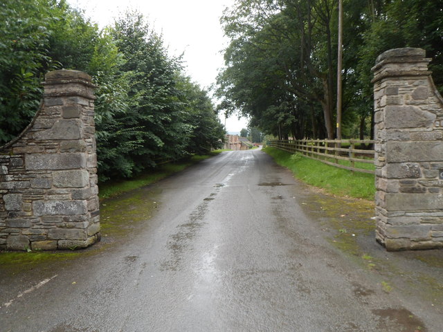
Image: © Jaggery Taken: 19 Aug 2012
Located at the southern edge of the village, Clyro Court Farm is a former monastic grange. Some of its buildings date from the 14th century.
Images are licensed for reuse under creativecommons.org/licenses/by-sa/2.0
Image Location


Leaflet Map data © OpenStreetMap
Latitude
52.083422
Longitude
-3.150504