Roadside verge near Awliscombe House
Introduction
The photograph on this page of Roadside verge near Awliscombe House by David Smith as part of the Geograph project.
The Geograph project started in 2005 with the aim of publishing, organising and preserving representative images for every square kilometre of Great Britain, Ireland and the Isle of Man.

There are currently over 7.5m images from over 14,400 individuals and you can help contribute to the project by visiting https://www.geograph.org.uk
Roadside verge near Awliscombe House
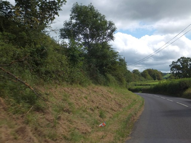
Image: © David Smith Taken: 20 Aug 2012
The verge and hedge have been managed so as to allow vehicles from a side road (the photographer's position) to see traffic on the main road.
Images are licensed for reuse under creativecommons.org/licenses/by-sa/2.0
Image Location
Latitude
50.804869
Longitude
-3.219995