Clyro Brook, Clyro
Introduction
The photograph on this page of Clyro Brook, Clyro by Jaggery as part of the Geograph project.
The Geograph project started in 2005 with the aim of publishing, organising and preserving representative images for every square kilometre of Great Britain, Ireland and the Isle of Man.

There are currently over 7.5m images from over 14,400 individuals and you can help contribute to the project by visiting https://www.geograph.org.uk
Clyro Brook, Clyro
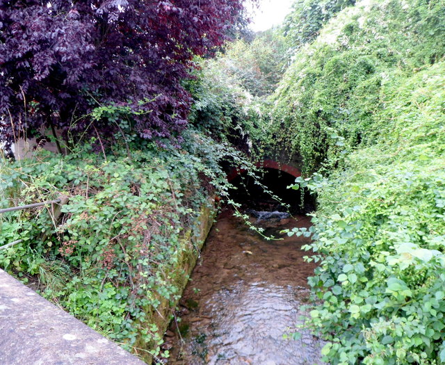
Image: © Jaggery Taken: 19 Aug 2012
A tributary of the River Wye, Clyro Brook emerges from a culvert and flows under the A438 near the residential street Buttercup Meadow.
Images are licensed for reuse under creativecommons.org/licenses/by-sa/2.0
Image Location
Latitude
52.086948
Longitude
-3.148552