Solar panels near Ebbsfleet Lane
Introduction
The photograph on this page of Solar panels near Ebbsfleet Lane by Bill Boaden as part of the Geograph project.
The Geograph project started in 2005 with the aim of publishing, organising and preserving representative images for every square kilometre of Great Britain, Ireland and the Isle of Man.

There are currently over 7.5m images from over 14,400 individuals and you can help contribute to the project by visiting https://www.geograph.org.uk
Solar panels near Ebbsfleet Lane
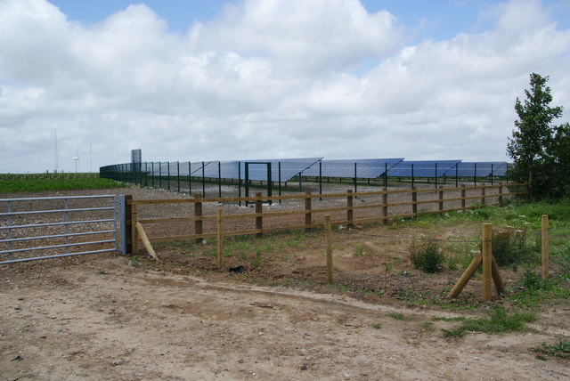
Image: © Bill Boaden Taken: 29 Jun 2012
This is a large area of panels on land which was formerly part of Richborough Power Station. It supposedly generates enough energy to power a village.
Images are licensed for reuse under creativecommons.org/licenses/by-sa/2.0
Image Location
Latitude
51.313548
Longitude
1.350364