Single track road to Tirmynach north of Hay-on-Wye
Introduction
The photograph on this page of Single track road to Tirmynach north of Hay-on-Wye by Jaggery as part of the Geograph project.
The Geograph project started in 2005 with the aim of publishing, organising and preserving representative images for every square kilometre of Great Britain, Ireland and the Isle of Man.

There are currently over 7.5m images from over 14,400 individuals and you can help contribute to the project by visiting https://www.geograph.org.uk
Single track road to Tirmynach north of Hay-on-Wye
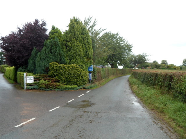
Image: © Jaggery Taken: 19 Aug 2012
Viewed from the road from Hay-on-Wye to Clyro. The single track road ahead leads to Tirmynach (Monk's House). http://www.geograph.org.uk/photo/486083 The side road on the left is the entrance to Radnor's End Camping. http://www.geograph.org.uk/photo/2061372
Images are licensed for reuse under creativecommons.org/licenses/by-sa/2.0
Image Location
Latitude
52.08017
Longitude
-3.133493