Barnoldswick: Skipton Road
Introduction
The photograph on this page of Barnoldswick: Skipton Road by Dr Neil Clifton as part of the Geograph project.
The Geograph project started in 2005 with the aim of publishing, organising and preserving representative images for every square kilometre of Great Britain, Ireland and the Isle of Man.

There are currently over 7.5m images from over 14,400 individuals and you can help contribute to the project by visiting https://www.geograph.org.uk
Barnoldswick: Skipton Road
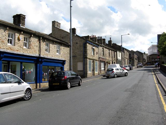
Image: © Dr Neil Clifton Taken: 20 Aug 2012
This is the inner end of Skipton Road, detached by road alterations from the main part of the road. Looking here towards the middle of Barnoldswick.
Images are licensed for reuse under creativecommons.org/licenses/by-sa/2.0
Image Location
Latitude
53.916927
Longitude
-2.188296