Clitheroe: Woone Lane: Commercial Mill
Introduction
The photograph on this page of Clitheroe: Woone Lane: Commercial Mill by Dr Neil Clifton as part of the Geograph project.
The Geograph project started in 2005 with the aim of publishing, organising and preserving representative images for every square kilometre of Great Britain, Ireland and the Isle of Man.

There are currently over 7.5m images from over 14,400 individuals and you can help contribute to the project by visiting https://www.geograph.org.uk
Clitheroe: Woone Lane: Commercial Mill
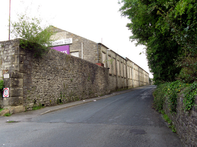
Image: © Dr Neil Clifton Taken: 19 Aug 2012
This mill was demolished in the first days of January 2013, to make room for housing. I am indebted to A. P. Kapp for this information.
Images are licensed for reuse under creativecommons.org/licenses/by-sa/2.0
Image Location
Latitude
53.863379
Longitude
-2.40002