Queen's Walk: closed subway
Introduction
The photograph on this page of Queen's Walk: closed subway by John Sutton as part of the Geograph project.
The Geograph project started in 2005 with the aim of publishing, organising and preserving representative images for every square kilometre of Great Britain, Ireland and the Isle of Man.

There are currently over 7.5m images from over 14,400 individuals and you can help contribute to the project by visiting https://www.geograph.org.uk
Queen's Walk: closed subway
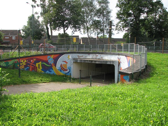
Image: © John Sutton Taken: 18 Aug 2012
The north side of the subway which carries the cycle/walk way along Queen's Walk. It is fenced off and about to be filled in and the tramway will cross Robin Hood Way on the level. The picture was taken through the mesh of the fence on the path diversion.
Images are licensed for reuse under creativecommons.org/licenses/by-sa/2.0
Image Location
Latitude
52.941759
Longitude
-1.151323