West Charleton
Introduction
The photograph on this page of West Charleton by Derek Harper as part of the Geograph project.
The Geograph project started in 2005 with the aim of publishing, organising and preserving representative images for every square kilometre of Great Britain, Ireland and the Isle of Man.

There are currently over 7.5m images from over 14,400 individuals and you can help contribute to the project by visiting https://www.geograph.org.uk
West Charleton
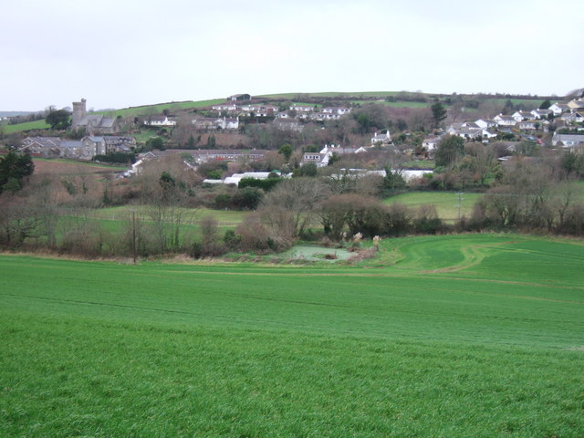
Image: © Derek Harper Taken: 4 Jan 2007
A view from the same spot as Image, but looking further west, across the nursery on Marsh Lane, with the church crossing the gridline into SX7442. At the bottom of the slope in the foreground is a rather weedy pond.
Images are licensed for reuse under creativecommons.org/licenses/by-sa/2.0
Image Location


Leaflet Map data © OpenStreetMap
Latitude
50.26927
Longitude
-3.75113