Claverley Cutting
Introduction
The photograph on this page of Claverley Cutting by Gordon Griffiths as part of the Geograph project.
The Geograph project started in 2005 with the aim of publishing, organising and preserving representative images for every square kilometre of Great Britain, Ireland and the Isle of Man.

There are currently over 7.5m images from over 14,400 individuals and you can help contribute to the project by visiting https://www.geograph.org.uk
Claverley Cutting
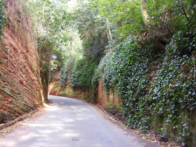
Image: © Gordon Griffiths Taken: 11 Aug 2012
The road leaving Claverley north cuts through a sandstone cliff.
Images are licensed for reuse under creativecommons.org/licenses/by-sa/2.0
Image Location
Latitude
52.54238
Longitude
-2.30562