Thurso Bay View
Introduction
The photograph on this page of Thurso Bay View by Mary and Angus Hogg as part of the Geograph project.
The Geograph project started in 2005 with the aim of publishing, organising and preserving representative images for every square kilometre of Great Britain, Ireland and the Isle of Man.

There are currently over 7.5m images from over 14,400 individuals and you can help contribute to the project by visiting https://www.geograph.org.uk
Thurso Bay View
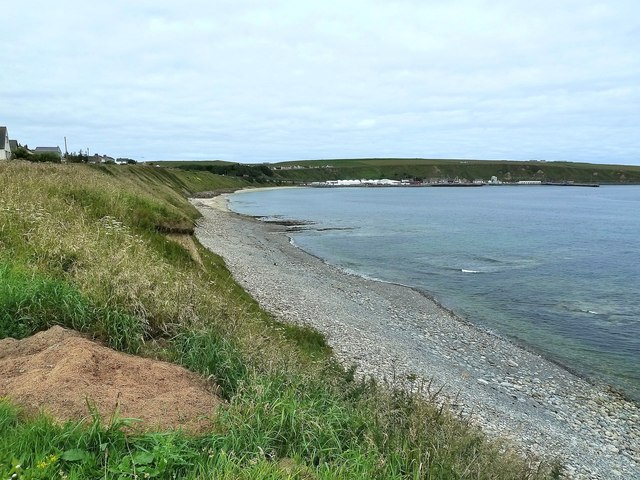
Image: © Mary and Angus Hogg Taken: 8 Aug 2012
Looking towards Scrabster from the cliff-top path. The cliffs become less steep here with a cover of vegetation. The houses on the left must have fantastic views of the Pentland Firth.
Images are licensed for reuse under creativecommons.org/licenses/by-sa/2.0
Image Location


Leaflet Map data © OpenStreetMap
Latitude
58.604138
Longitude
-3.546745