Porthmadog Harbour
Introduction
The photograph on this page of Porthmadog Harbour by Richard Hoare as part of the Geograph project.
The Geograph project started in 2005 with the aim of publishing, organising and preserving representative images for every square kilometre of Great Britain, Ireland and the Isle of Man.

There are currently over 7.5m images from over 14,400 individuals and you can help contribute to the project by visiting https://www.geograph.org.uk
Porthmadog Harbour
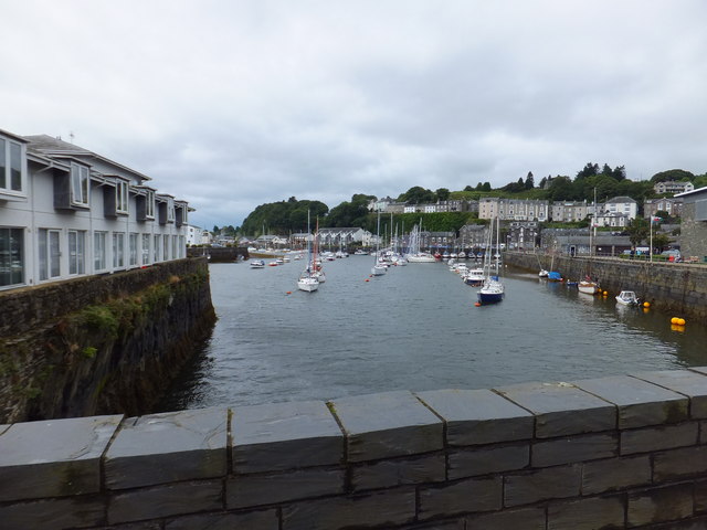
Image: © Richard Hoare Taken: 13 Aug 2012
As viewed from the Welsh Highland Train travelling down the A497 road.
Images are licensed for reuse under creativecommons.org/licenses/by-sa/2.0
Image Location
Latitude
52.924478
Longitude
-4.127435