Dismantled bridge near Westfield
Introduction
The photograph on this page of Dismantled bridge near Westfield by M J Richardson as part of the Geograph project.
The Geograph project started in 2005 with the aim of publishing, organising and preserving representative images for every square kilometre of Great Britain, Ireland and the Isle of Man.

There are currently over 7.5m images from over 14,400 individuals and you can help contribute to the project by visiting https://www.geograph.org.uk
Dismantled bridge near Westfield
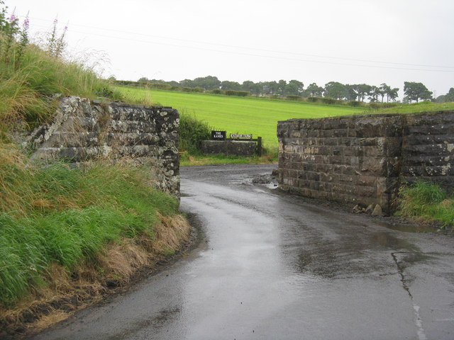
Image: © M J Richardson Taken: 14 Aug 2012
One of many remains of the extensive rail network that served the coal mining industry in this area. The entrance beyond the bridge leads to The Kames and Kaemuir Farm.
Images are licensed for reuse under creativecommons.org/licenses/by-sa/2.0
Image Location
Latitude
55.936864
Longitude
-3.713177