The M1 south east of Moira (2)
Introduction
The photograph on this page of The M1 south east of Moira (2) by Albert Bridge as part of the Geograph project.
The Geograph project started in 2005 with the aim of publishing, organising and preserving representative images for every square kilometre of Great Britain, Ireland and the Isle of Man.

There are currently over 7.5m images from over 14,400 individuals and you can help contribute to the project by visiting https://www.geograph.org.uk
The M1 south east of Moira (2)
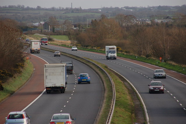
Image: © Albert Bridge Taken: 9 Jan 2007
See Image This is the view towards Belfast from the same bridge. The monument on the horizon is in another square!!!! See Image
Images are licensed for reuse under creativecommons.org/licenses/by-sa/2.0
Image Location
Latitude
54.470379
Longitude
-6.188401