Communications Mast - Danbury
Introduction
The photograph on this page of Communications Mast - Danbury by Malcolm Reid as part of the Geograph project.
The Geograph project started in 2005 with the aim of publishing, organising and preserving representative images for every square kilometre of Great Britain, Ireland and the Isle of Man.

There are currently over 7.5m images from over 14,400 individuals and you can help contribute to the project by visiting https://www.geograph.org.uk
Communications Mast - Danbury
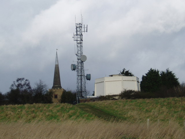
Image: © Malcolm Reid Taken: 9 Jan 2007
Looking up Church Hill towards Danbury St John's Church, the most visible thing is a communications mast. Many Danbury residents still wonder how planning permission was obtained for this structure within 200 yards of the church.
Images are licensed for reuse under creativecommons.org/licenses/by-sa/2.0
Image Location


Leaflet Map data © OpenStreetMap
Latitude
51.716412
Longitude
0.57387