The Skeb Skeugh valley near Angram
Introduction
The photograph on this page of The Skeb Skeugh valley near Angram by Gordon Hatton as part of the Geograph project.
The Geograph project started in 2005 with the aim of publishing, organising and preserving representative images for every square kilometre of Great Britain, Ireland and the Isle of Man.

There are currently over 7.5m images from over 14,400 individuals and you can help contribute to the project by visiting https://www.geograph.org.uk
The Skeb Skeugh valley near Angram
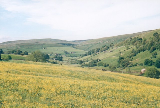
Image: © Gordon Hatton Taken: Unknown
The Skeb Skeugh valley has a tiny 'misfit' stream flowing through it today, but at some point during the last ice age, the Swale must have come this way before it carved a new course around the other side of Kisdon Hill.
Images are licensed for reuse under creativecommons.org/licenses/by-sa/2.0
Image Location
Latitude
54.390849
Longitude
-2.178604