Picnic Site at Edinkillie Hall
Introduction
The photograph on this page of Picnic Site at Edinkillie Hall by Mary and Angus Hogg as part of the Geograph project.
The Geograph project started in 2005 with the aim of publishing, organising and preserving representative images for every square kilometre of Great Britain, Ireland and the Isle of Man.

There are currently over 7.5m images from over 14,400 individuals and you can help contribute to the project by visiting https://www.geograph.org.uk
Picnic Site at Edinkillie Hall
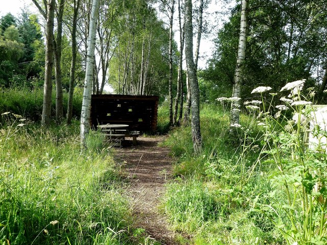
Image: © Mary and Angus Hogg Taken: 4 Aug 2012
Some sheltered picnic tables have been provided behind the hall, with parking and access to the Dava Way.
Images are licensed for reuse under creativecommons.org/licenses/by-sa/2.0
Image Location


Leaflet Map data © OpenStreetMap
Latitude
57.513314
Longitude
-3.646195