Path near Streetly End
Introduction
The photograph on this page of Path near Streetly End by John Sutton as part of the Geograph project.
The Geograph project started in 2005 with the aim of publishing, organising and preserving representative images for every square kilometre of Great Britain, Ireland and the Isle of Man.

There are currently over 7.5m images from over 14,400 individuals and you can help contribute to the project by visiting https://www.geograph.org.uk
Path near Streetly End
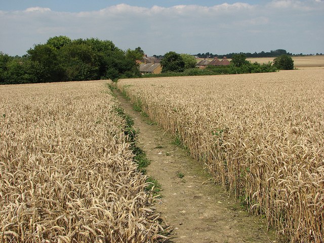
Image: © John Sutton Taken: 11 Aug 2012
A well-maintained path through wheatfields to the north-east of Horseheath. The houses are on the road to West Wickham.
Images are licensed for reuse under creativecommons.org/licenses/by-sa/2.0
Image Location
Latitude
52.107689
Longitude
0.359464