Ordnance Survey bolt on former Canterbury Workhouse
Introduction
The photograph on this page of Ordnance Survey bolt on former Canterbury Workhouse by Shantavira as part of the Geograph project.
The Geograph project started in 2005 with the aim of publishing, organising and preserving representative images for every square kilometre of Great Britain, Ireland and the Isle of Man.

There are currently over 7.5m images from over 14,400 individuals and you can help contribute to the project by visiting https://www.geograph.org.uk
Ordnance Survey bolt on former Canterbury Workhouse
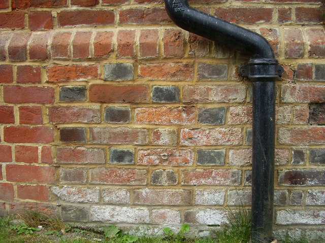
Image: © Shantavira Taken: 8 Aug 2012
Ordnance Survey bench mark with centre bolt on the north-east face of the former Canterbury Workhouse, now an apartment building called Nunnery Fields, off George Roche Road. This bench mark was established in 1850 or 1851 during the First primary levelling of England & Wales, and was levelled with a height of 126.9150 feet [38.6837 metres] above mean sea level (Liverpool datum). It was included as a side level on the London to Dover levelling line. The surveyor's description was No. 263(g). Canterbury Union Workhouse. Bolt in North-east corner; 1.51 ft. above surface (p193). Repointing has obscured the original mark, but the centre bolt is clearly visible four courses above ground level.
Images are licensed for reuse under creativecommons.org/licenses/by-sa/2.0
Image Location
Latitude
51.26977
Longitude
1.081045