Southampton, town walls
Introduction
The photograph on this page of Southampton, town walls by Mike Faherty as part of the Geograph project.
The Geograph project started in 2005 with the aim of publishing, organising and preserving representative images for every square kilometre of Great Britain, Ireland and the Isle of Man.

There are currently over 7.5m images from over 14,400 individuals and you can help contribute to the project by visiting https://www.geograph.org.uk
Southampton, town walls
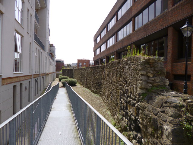
Image: © Mike Faherty Taken: 11 Aug 2012
A section of the mediaeval walls off Briton Street; to the left, a former defensive ditch. http://www.vrsouthampton.co.uk/southampton-virtual-tour/The-City-Walls.html
Images are licensed for reuse under creativecommons.org/licenses/by-sa/2.0
Image Location
Latitude
50.897851
Longitude
-1.402725