Viewpoint at Waen y Llyn Country Park
Introduction
The photograph on this page of Viewpoint at Waen y Llyn Country Park by Eirian Evans as part of the Geograph project.
The Geograph project started in 2005 with the aim of publishing, organising and preserving representative images for every square kilometre of Great Britain, Ireland and the Isle of Man.

There are currently over 7.5m images from over 14,400 individuals and you can help contribute to the project by visiting https://www.geograph.org.uk
Viewpoint at Waen y Llyn Country Park
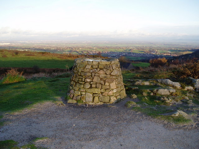
Image: © Eirian Evans Taken: 6 Jan 2007
The cairn is topped by a panoramic map, you can see for miles all around.
Images are licensed for reuse under creativecommons.org/licenses/by-sa/2.0
Image Location
Latitude
53.112558
Longitude
-3.071122