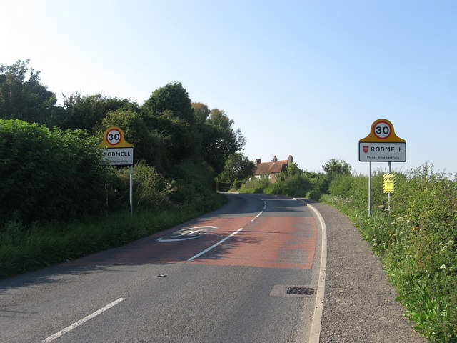
Newhaven Road
Introduction
The photograph on this page of Newhaven Road by Simon Carey as part of the Geograph project.
The Geograph project started in 2005 with the aim of publishing, organising and preserving representative images for every square kilometre of Great Britain, Ireland and the Isle of Man.
There are currently over 7.5m images from over 14,400 individuals and you can help contribute to the project by visiting https://www.geograph.org.uk

Image: © Simon Carey Taken: 10 Aug 2012
The C7 entering the village of Rodmell from the south. The road is an old one linking villages along the spring line on the sheltered western side of the Ouse valley and was the A275 until the 1970s when all traffic was rerouted along the newly designated A26 on the eastern side of the valley. The cottages beyond were built in the 1920s and were originally known as Council Cottages but have since been changed to Ouseside Cottages.

