SE corner of Oakdale Comprehensive School
Introduction
The photograph on this page of SE corner of Oakdale Comprehensive School by Jaggery as part of the Geograph project.
The Geograph project started in 2005 with the aim of publishing, organising and preserving representative images for every square kilometre of Great Britain, Ireland and the Isle of Man.

There are currently over 7.5m images from over 14,400 individuals and you can help contribute to the project by visiting https://www.geograph.org.uk
SE corner of Oakdale Comprehensive School
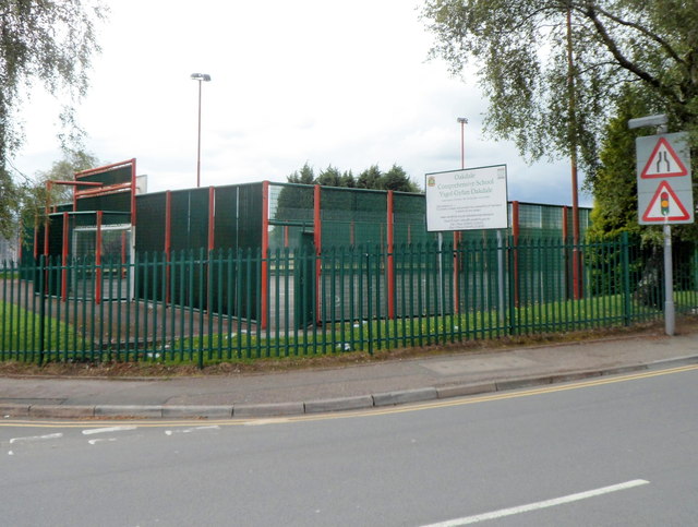
Image: © Jaggery Taken: 8 Aug 2012
Viewed across Penmaen Road. The games court is part of a large area in the southern part of the school site allocated for sports use.
Images are licensed for reuse under creativecommons.org/licenses/by-sa/2.0
Image Location
Latitude
51.672079
Longitude
-3.185747