Leeds Country Way towards Scholes
Introduction
The photograph on this page of Leeds Country Way towards Scholes by John Slater as part of the Geograph project.
The Geograph project started in 2005 with the aim of publishing, organising and preserving representative images for every square kilometre of Great Britain, Ireland and the Isle of Man.

There are currently over 7.5m images from over 14,400 individuals and you can help contribute to the project by visiting https://www.geograph.org.uk
Leeds Country Way towards Scholes
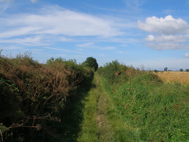
Image: © John Slater Taken: 9 Aug 2012
This section is labelled Carrfield Lane on larger scale OS maps
Images are licensed for reuse under creativecommons.org/licenses/by-sa/2.0
Image Location
Latitude
53.828583
Longitude
-1.40197