Wide open spaces
Introduction
The photograph on this page of Wide open spaces by Alan Hunt as part of the Geograph project.
The Geograph project started in 2005 with the aim of publishing, organising and preserving representative images for every square kilometre of Great Britain, Ireland and the Isle of Man.

There are currently over 7.5m images from over 14,400 individuals and you can help contribute to the project by visiting https://www.geograph.org.uk
Wide open spaces
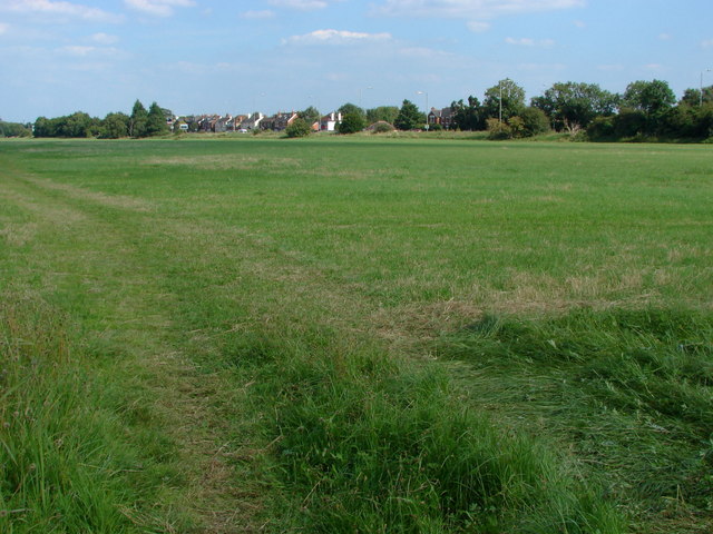
Image: © Alan Hunt Taken: 9 Aug 2012
A view across the flatlands of the Runnymede meadows towards the houses on the A30, Egham by-pass. It was in this area that the armies of King John and the Barons were encamped during the sealing of the Magna Carta.
Images are licensed for reuse under creativecommons.org/licenses/by-sa/2.0
Image Location
Latitude
51.435872
Longitude
-0.55053