Brimmond Hill Country Park
Introduction
The photograph on this page of Brimmond Hill Country Park by andrew as part of the Geograph project.
The Geograph project started in 2005 with the aim of publishing, organising and preserving representative images for every square kilometre of Great Britain, Ireland and the Isle of Man.

There are currently over 7.5m images from over 14,400 individuals and you can help contribute to the project by visiting https://www.geograph.org.uk
Brimmond Hill Country Park
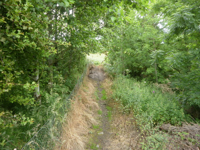
Image: © andrew Taken: 30 Jul 2012
The path from Kingswells Village up to Brimmond Hill Country Park. Identified as core path 42 http://www.aberdeencity.gov.uk/nmsruntime/saveasdialog.asp?lID=29924&sID=3159 . Starts at Kingswells Crescent, near the bridge & runs behind Derbeth Manor, Grange & past Webster Park onto core path 33.
Images are licensed for reuse under creativecommons.org/licenses/by-sa/2.0
Image Location
Latitude
57.163303
Longitude
-2.214257