Highland Terrace
Introduction
The photograph on this page of Highland Terrace by john bristow as part of the Geograph project.
The Geograph project started in 2005 with the aim of publishing, organising and preserving representative images for every square kilometre of Great Britain, Ireland and the Isle of Man.

There are currently over 7.5m images from over 14,400 individuals and you can help contribute to the project by visiting https://www.geograph.org.uk
Highland Terrace
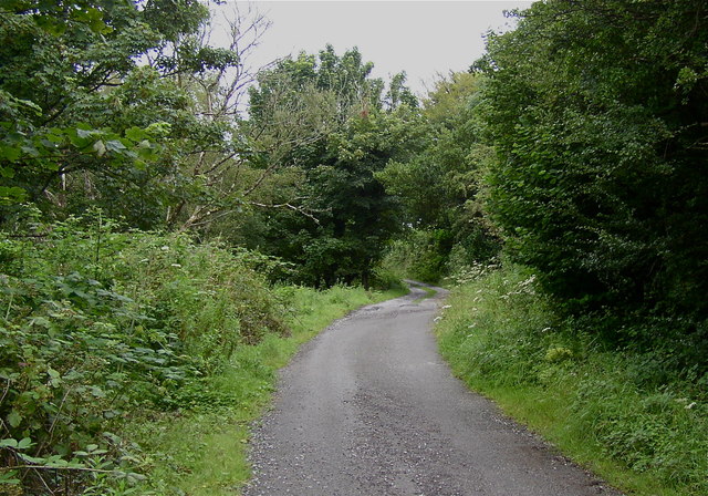
Image: © john bristow Taken: 8 Aug 2012
This lane leads into a nature reserve which was originally a site of industrial activities such as coal mining, quarrying and brick making.
Images are licensed for reuse under creativecommons.org/licenses/by-sa/2.0
Image Location
Latitude
51.62473
Longitude
-4.029803