Cut Bench Mark, Meadows Way
Introduction
The photograph on this page of Cut Bench Mark, Meadows Way by Mark Anderson as part of the Geograph project.
The Geograph project started in 2005 with the aim of publishing, organising and preserving representative images for every square kilometre of Great Britain, Ireland and the Isle of Man.

There are currently over 7.5m images from over 14,400 individuals and you can help contribute to the project by visiting https://www.geograph.org.uk
Cut Bench Mark, Meadows Way
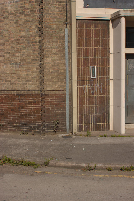
Image: © Mark Anderson Taken: 9 Aug 2012
There is a cut bench mark to the right of the weed. Bench Mark Database: http://www.bench-marks.org.uk/bm42480
Images are licensed for reuse under creativecommons.org/licenses/by-sa/2.0
Image Location
Latitude
52.943998
Longitude
-1.153898