Kingswells up Brimmond Hill Country Park
Introduction
The photograph on this page of Kingswells up Brimmond Hill Country Park by andrew as part of the Geograph project.
The Geograph project started in 2005 with the aim of publishing, organising and preserving representative images for every square kilometre of Great Britain, Ireland and the Isle of Man.

There are currently over 7.5m images from over 14,400 individuals and you can help contribute to the project by visiting https://www.geograph.org.uk
Kingswells up Brimmond Hill Country Park
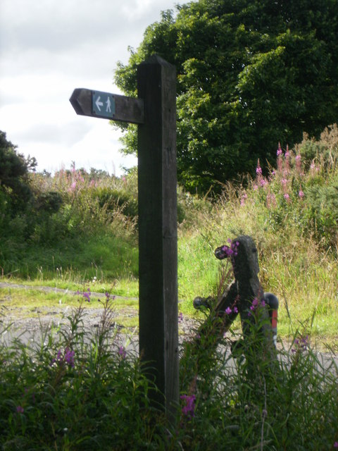
Image: © andrew Taken: 15 Aug 2010
Core Path 42 The original sign post pointing back down towards the village of Kingswells. Location near Webster Park. Core Path 33 Across the road New sign post not in this photograph Pointing up towards Brimmond Hill
Images are licensed for reuse under creativecommons.org/licenses/by-sa/2.0
Image Location
Latitude
57.168777
Longitude
-2.217431