Sleaford West level crossing
Introduction
The photograph on this page of Sleaford West level crossing by Alan Murray-Rust as part of the Geograph project.
The Geograph project started in 2005 with the aim of publishing, organising and preserving representative images for every square kilometre of Great Britain, Ireland and the Isle of Man.

There are currently over 7.5m images from over 14,400 individuals and you can help contribute to the project by visiting https://www.geograph.org.uk
Sleaford West level crossing
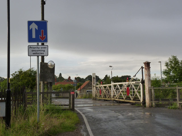
Image: © Alan Murray-Rust Taken: 5 Aug 2012
This retains a fine set of traditional gates, still with a cast iron gatepost supporting the near gate. The combination of 3 railway tracks and the narrow road means that there are gates on one side of the road only.
Images are licensed for reuse under creativecommons.org/licenses/by-sa/2.0
Image Location


Leaflet Map data © OpenStreetMap
Latitude
52.996098
Longitude
-0.41688