Stour Street, end of 21 Hospital Lane
Introduction
The photograph on this page of Stour Street, end of 21 Hospital Lane by Brian Westlake as part of the Geograph project.
The Geograph project started in 2005 with the aim of publishing, organising and preserving representative images for every square kilometre of Great Britain, Ireland and the Isle of Man.

There are currently over 7.5m images from over 14,400 individuals and you can help contribute to the project by visiting https://www.geograph.org.uk
Stour Street, end of 21 Hospital Lane
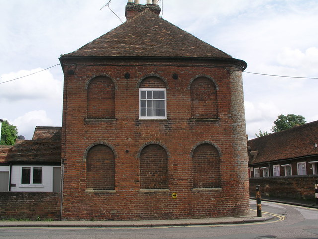
Image: © Brian Westlake Taken: 23 Jun 2012
The building carries a cut bench mark near the start of the curve on the right. See http://www.geograph.org.uk/photo/3072065 for a close-up.
Images are licensed for reuse under creativecommons.org/licenses/by-sa/2.0
Image Location
Latitude
51.277459
Longitude
1.075967