The End of Footpath 92
Introduction
The photograph on this page of The End of Footpath 92 by Glyn Baker as part of the Geograph project.
The Geograph project started in 2005 with the aim of publishing, organising and preserving representative images for every square kilometre of Great Britain, Ireland and the Isle of Man.

There are currently over 7.5m images from over 14,400 individuals and you can help contribute to the project by visiting https://www.geograph.org.uk
The End of Footpath 92
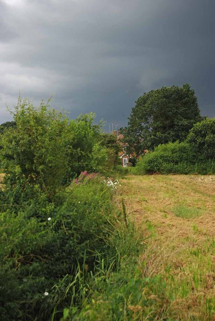
Image: © Glyn Baker Taken: 6 Aug 2012
The footpath to Hanging Hill Lane runs alongside a ditch which had running water in it today
Images are licensed for reuse under creativecommons.org/licenses/by-sa/2.0
Image Location
Latitude
51.613169
Longitude
0.333003